Skip to content
Ecological Intelligence

Ecological evidence.
Independent perspective.
Explore Wild Lands ↗

Wild Lands / Ecological Intelligence

A Colombian watershed model maps flood and landslide risk with green infrastructure options

A planning framework links hazard records with places for forest, floodplain, pond and wetland investments.

A Colombian watershed model maps flood and landslide risk with green infrastructure options
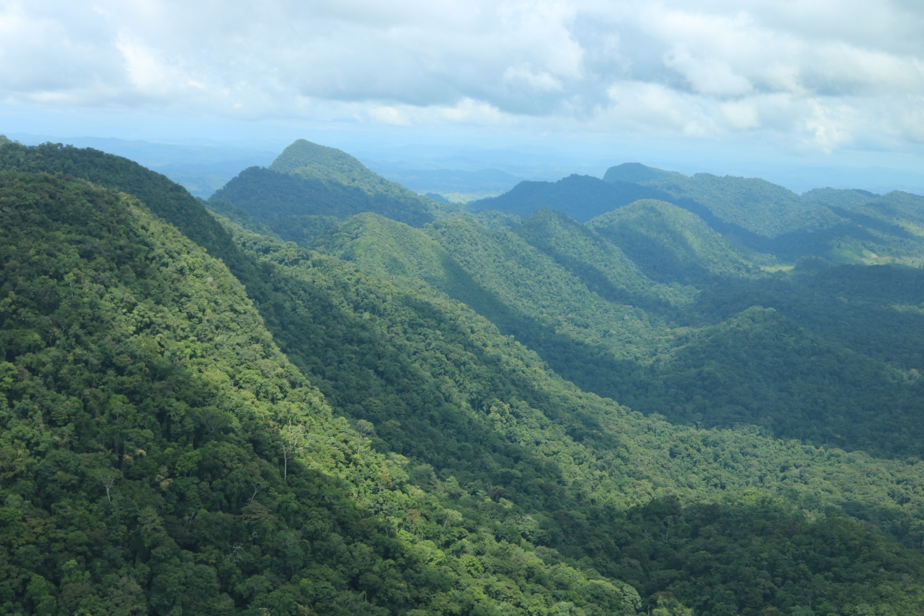
Illustrative repository image — Levi Novey/USFWS; Honduras–Belize forest, not the Colombian Guarapas study site · Public Domain (USFWS) · Rights: Public domain
Evidence
Peer-reviewed spatial planning model
Geography
Guarapas River catchment, Huila, Colombia
System
Tropical catchment / blue-green infrastructure

WHAT THE EVIDENCE SAYS

Weighted multicriteria overlays identify more than 60% of the catchment as suitable for at least one blue-green measure; historical hazard records were used for validation. The paper's up-to-55% risk-reduction claim is from modelled scenarios, not deployed projects.

WHY IT MATTERS / OUR READ

This is an approach for targeting capital in data-poor catchments, but the next test is field hydrology, maintenance and institutional feasibility.

CAVEATS / UNCERTAINTY

Risk reduction is simulated and depends on scoring weights and input resolution, not measured performance after construction.

SOURCE

Sustainability and Climate Change · original spatial decision model
View original evidence ↗